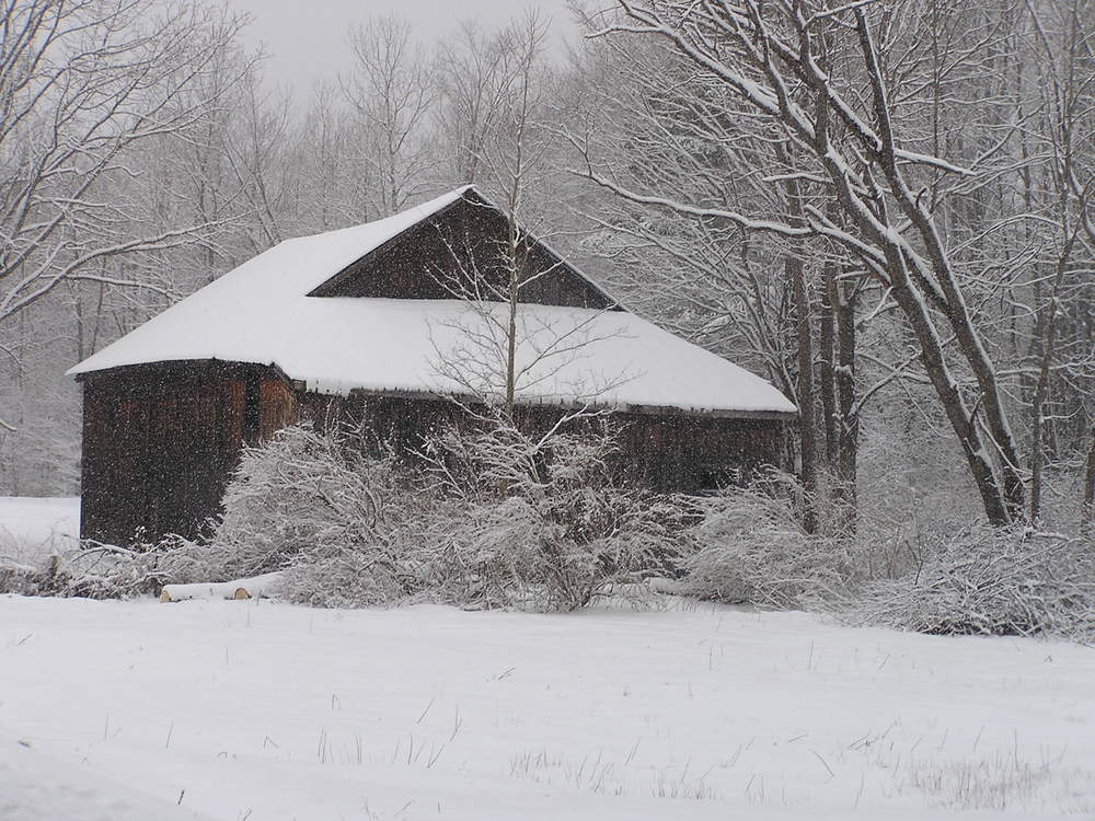
Gore! Gore! Gore! Powder! Powder! Powder!

Stating the obvious: this weekend is going to be the best weekend of the season to ski Gore Mountain, with the resort getting 12 inches of snow in the last 24 hours. That means 100 per cent of the mountain is open -- more than 40 miles of trials! That’s 95 of 'em, accessible by 9 lifts.

And did we mention there’s eight miles of glades!

This weekend season pass holders get to bring a friend who can ski at half price. And don’t forget to check out neat ways to save at Liftopia.

The forecast for Friday calls for cloudy conditions, high near 38 with south wind 5-9 mph.

Read More

Schroon Lake Snow Show

Photo By Mark Piper

With just 18 days left until the beginning of Spring, the snow  -- missing for most of the winter -- continues to fall this Thursday morn. So far, the roads are in good shape, thanks to the Highway Department. The most recent forecast from the National Weather Service predicts accumulations up to 7 inches for the Schroon area. If you know about a cancellation, let us know in comments. If you are not in Schroon, enjoy the snow show after the jump:

Read More

Schroon Lake To Mother Nature: Bring It!

With the potential for up to a foot of snow, rest assured that your reliable town Highway Department is at the ready to give back as good as it gets from Ma Nature.

That’s the message from councilman Roger Friedman, who we spoke with late Wednesday at the very beginning stages of the storm.

“It’s been flaking all day, with nothing sticking, but the best is yet to come. We are bracing for a long snowy couple of days.” Roger told us.

And the Highway Department is primed and ready.

“One of the miracles of Schroon Lake ever since I have been here is the Highway Department and their ability to clear the roads, no matter if it's inches or feet”.

Roger, an avid skier, says the smart money is on skiers from the area all assembling Friday at 8.30 am at the gondola at Gore Mountain, for the first run of the day.

“With the amount of snow that’s predicted, it’s going to be a glorious day. I urge everyone take a day off Friday and come ski."

A Big, Bad Storm, Comin’ Our Way?

Go figure: It’s almost Spring, we’ve had a winter with barely a dusting of the white stuff, so it makes sense that we could be in for a Monster of a storm?

At least that’s what’s being predicted by the National Weather Service starting as early as Wednesday night.

Wednesday: Snow likely, mainly after 3pm. Cloudy, with a high near 30. Calm wind becoming east between 5 and 8 mph. Chance of precipitation is 70%. New snow accumulation of less than one inch possible.

Wednesday Night: Snow. Low around 25. East wind around 10 mph, with gusts as high as 25 mph. Chance of precipitation is 100%. New snow accumulation of 3 to 7 inches possible.

Thursday: Rain and snow, becoming all snow after noon. High near 33. Southeast wind between 7 and 13 mph, with gusts as high as 26 mph. Chance of precipitation is 80%. New precipitation amounts between a quarter and half of an inch possible.

Thursday Night: Snow showers likely, mainly before 8pm. Cloudy, with a low around 23. East wind around 5 mph becoming calm. Chance of precipitation is 60%.

Got plans for a potential snow day on Thursday? Tell us in comments.