Be Careful Out There: It's a Blizzard

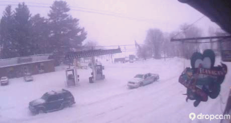
As of 5:30 -- the snow was falling fast and hard. Below is the view from the Dropcam at Flanagan's Pub!  And By the time this monster is over there could be at least two feet in our area. At Gore Mountain their  forecast presently calls for up to 26" of new snow!!!.

As of late afternoon more than 11 inches had fallen so far. 

From the folks at Gore: "Please use caution on the roads and on the mountain, as areas of blowing snow are anticipated throughout Thursday.  We've got over 35 miles available today, and the Hudson Chair will be opening on Friday to add to the fun". 

Depending where you are -- and how the wind is blowing -- there's was at least 6 or more inches on the ground, with the intensity seeming to increase later in the day.

Crews are having a tough time keeping up with just how fast the snow is now falling.

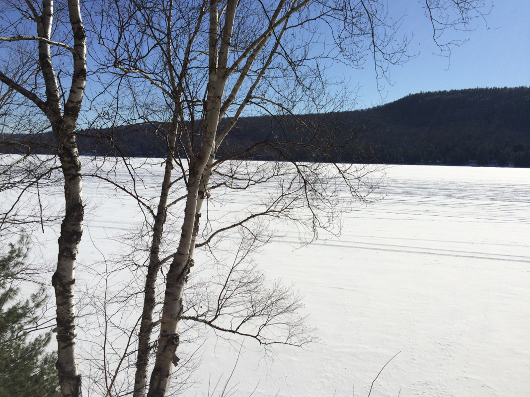
Photo Courtesy Julie Sawyer

Photo Courtesy Julie Sawyer

A Monster Of a Storm Heading Our Way

iphone-20140311102748-0.jpg

Mother Nature has one last bast of snow for our region: potentially in the 16 - 18 inch range. It's gonna be a doozy starting Wednesday. Highlights from the National Weather Service:
URGENT - WINTER WEATHER MESSAGE
NATIONAL WEATHER SERVICE BURLINGTON VT
711 AM EDT TUE MAR 11 2014...WINTER STORM WARNING REMAINS IN EFFECT FROM 8 AM WEDNESDAY TO
8 PM EDT THURSDAY...

THE NATIONAL WEATHER SERVICE IN BURLINGTON CONTINUES THE WINTER
STORM WARNING FOR HEAVY SNOW...FROM 8 AM WEDNESDAY TO 8 PM EDT
THURSDAY.

* LOCATIONS...THE NORTHERN ADIRONDACK MOUNTAINS...CHAMPLAIN
VALLEY...AS WELL AS CENTRAL AND NORTHERN VERMONT...INCLUDING
THE NORTHEAST KINGDOM.

* HAZARD TYPES...HEAVY SNOW.

* ACCUMULATIONS...12 TO 16 INCHES OF SNOW.

* MAXIMUM SNOWFALL RATE...1 TO 2 INCHES PER HOUR...MAINLY
WEDNESDAY EVENING THROUGH MIDNIGHT.

* TIMING...LIGHT SNOW WILL DEVELOP WEDNESDAY MORNING AND
INCREASE IN INTENSITY BY AFTERNOON AND BECOME HEAVY AT TIMES
INTO THURSDAY. SNOW WILL TAPER OFF TO SNOW SHOWERS BY THURSDAY
EVENING. THE SNOW COULD MIX WITH RAIN AND SLEET ACROSS RUTLAND
AND WINDSOR COUNTIES WEDNESDAY EVENING.

* IMPACTS...DIFFICULT TRAVEL EXPECTED WITH HEAVY SNOW...AREAS OF
BLOWING AND DRIFTING SNOW.

* WINDS...WEST 10 TO 20 MPH WITH GUSTS UP TO 30 MPH.

* TEMPERATURES...HIGHS IN THE LOWER 20S. LOWS 2 TO 12 ABOVE.

* VISIBILITIES...BELOW ONE HALF MILE AT TIMES IN SNOW AND BLOWING
SNOW...ESPECIALLY ON WEDNESDAY NIGHT INTO THURSDAY MORNING.

PRECAUTIONARY/PREPAREDNESS ACTIONS...

A WINTER STORM WARNING FOR HEAVY SNOW MEANS SEVERE WINTER WEATHER
CONDITIONS ARE EXPECTED. SIGNIFICANT AMOUNTS OF SNOW ARE FORECAST
THAT WILL MAKE TRAVEL DANGEROUS. IF YOU MUST TRAVEL...KEEP AN
EXTRA FLASHLIGHT...FOOD...AND WATER IN YOUR VEHICLE IN CASE OF AN
EMERGENCY.

PLEASE STAY TUNED TO NOAA WEATHER RADIO...YOUR LOCAL MEDIA...OR
GO TO WWW.WEATHER.GOV/BURLINGTON FOR FURTHER UPDATES.


The War On Invasive Species Continues

The War On Invasive Species Continues

(EDITOR'S NOTE: IN AN EARLIER VERSION OF THIS STORY WE MISIDENTIFIED THE PRESIDENT OF THE PARADOX LAKE ASSOCIATION. OUR APOLOGIES TO MARCIA HARTNETT.)

Part 2 of our conversation with Schroon Lake Association President Mark Granger.

While Schroon and Paradox Lakes are still covered in a thick slab of ice -- it won't be long before we get to sail, swim, boat, jet ski, wakeboard, water ski, kayak, canoe and tube, as well as participate in the non-ice version of fishing.

And that has the folks at the Schroon Lake Association, the East Shore Schroon Lake Association and the Paradox Lake Association worried.

With the ice out, the sun shining brightly and boaters taking advantages of our pristine lakes, it's also the time to refocus our attention on invasive species, according to Schroon Lake Association President Mark Granger.

Public enemy number one is Eurasian Milfoil, which can literally choke the life out of a lake. “Milfoil is really bad -- the only reason it's not horrific is that we have been working on it for 15 years,” Mark told Schroon Laker.

Read More